Location
This page presents some byproducts of my location scouting. The pictures are not likely to be included into the project but might be useful for orientation.
On the opening picture above you see the upper alley from the western hill (across the Dolder brook). On the left (i.e. north) the upper alley begins behind the trees surrounding the churchyard. The right border cuts off the alley where the gas chamber was located to give a panorama view with all trees on the rigde that are part of the project.
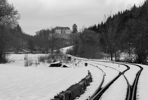
The classical first sight of Grafeneck is when approaching the castle from the south. The massive supporting walls of the basement of the enlarged plateau on which the manor resides are impressive and memorable. The black-and-white photograph is an exercise for a pictue that might be used with the transport from Bedburg-Hau. On March 8th 1940 more than 400 people arrived at the station of Marbach, were this picture was taken.

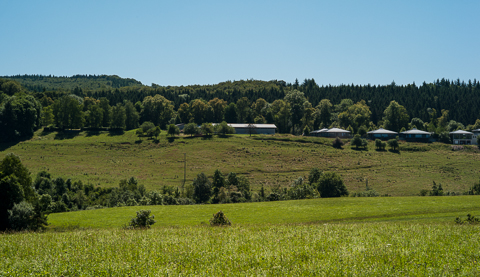
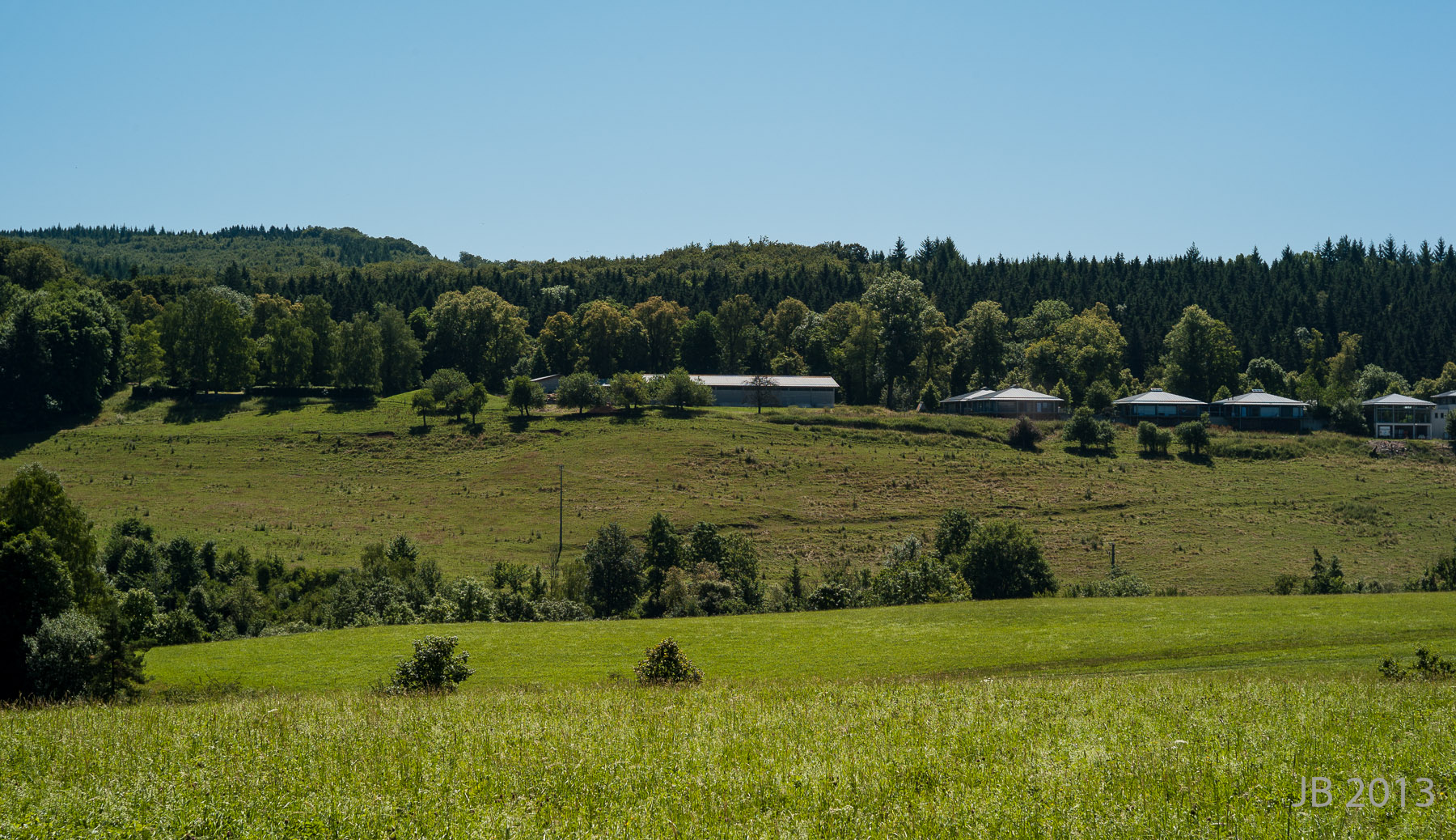
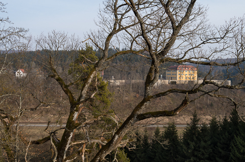
There are only a few possibilities to get a useful picture of Grafeneck from the next western hill - even less in summer because of the deciduous forest. (That ridge descents to the valley of the Lauter at Marbach stables, the biggest and oldest stud farm in our state, Baden-Württemberg.) Militarily speaking Grafeneck is well covered from reconnaissance activities. You are fully aware of anyone that shows interest except for long distance surveillance. It seems possible that this was a point when the Nazis choose the place for starting the mass killings of patients.

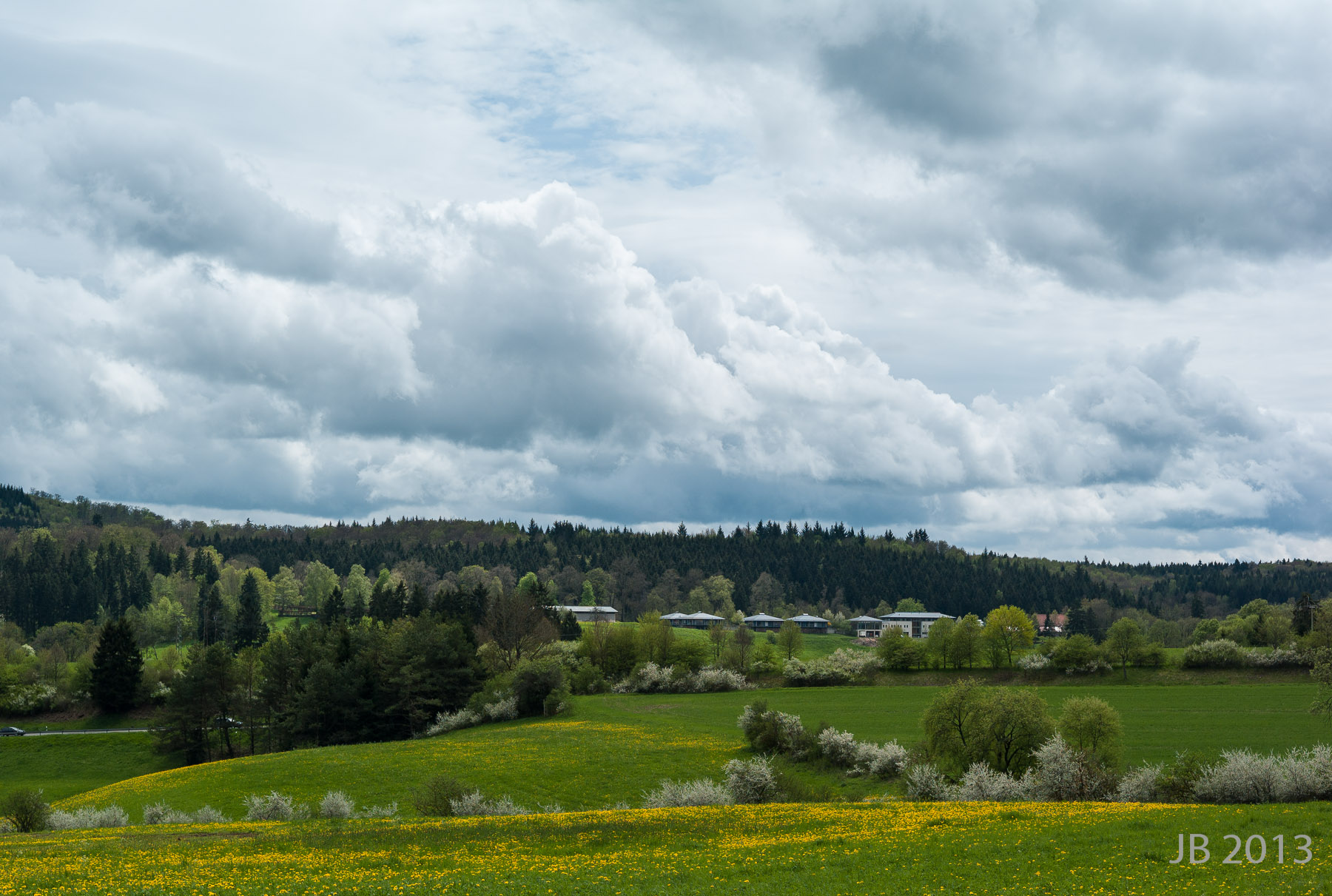
The next photo shows Grafeneck the way I see it when cycling the most direct route (approximately 1 1/4 hours). I usually take a picture (with a digital camera) to log timestamp of arrival and general weather conditions. So I have quite a collection of this view.

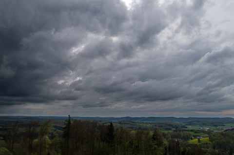
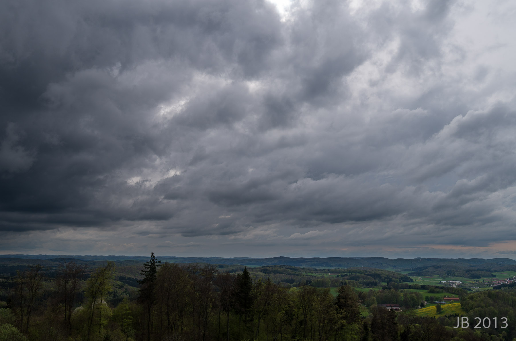
The highest point near Grafeneck is called Sternberg. It has a look-out tower, where you get a very nice panorama view of Grafeneck and the Swabian Jura. I hope for a winter picture, probably a sunrise. The pictures below are from explorations this spring.
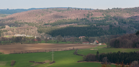
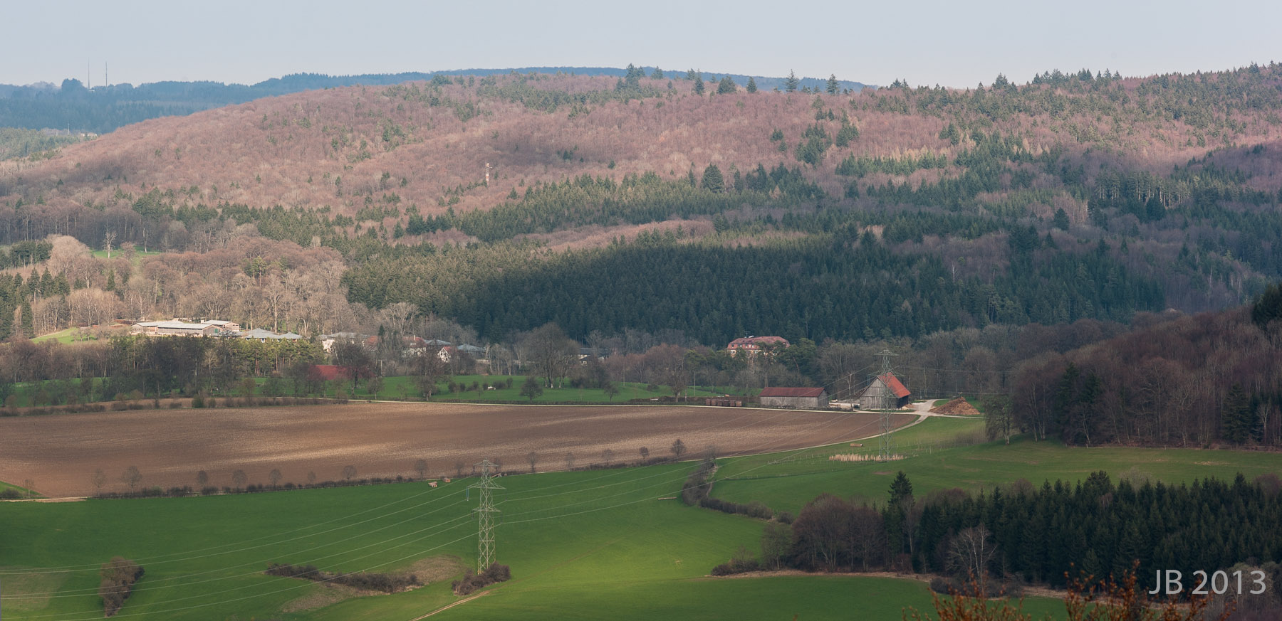
The last photo was taken on the Sternberg tower looking southwest (which is away from Grafeneck). It shows the upper parts of the Swabian Jura - endless gentle hills on a seeming plane. But there are valleys and gorges or canyons everywhere and some of them steep. On the extreme right there is the Albtrauf, where the Jura plateau falls abruptly off some 250 m (850 feet).